Free Self-Paced Geo-Enabling Elections Training
In May, CTCL partnered with the National States Geographic Information Council (NSGIC) Geo-Enabled Elections project to launch an online series for election officials, Geo-Enabling Elections. Over 300 election officials and GIS professionals participated in the live online sessions, exploring the ways that geographic information systems (GIS) can be used to increase the accuracy and reliability of election data.
We are excited to announce that the Geo-Enabling Elections content is now available as self-paced, online trainings. This means that you can complete the series on your own time when it’s convenient for you. Plus, it’s available at no cost.
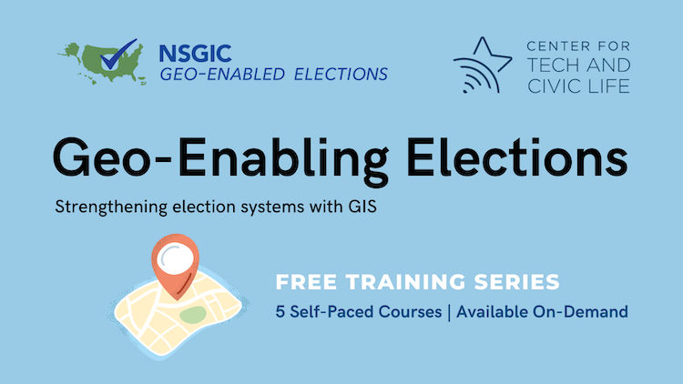
This series, which includes five free 45-minute trainings, will help you:
- Explore key concepts, terms, examples, and potential partners with case studies from local and state officials
- Implement best practices for developing, maintaining, and sharing geospatial information
- Audit precinct assignment accuracy so the right ballot gets to the right voter
Check out the course web page to learn more and register today!